In this article, we uncover the unique features that set Frotcom apart and how its various map layers play a key role in optimizing fleet operations.
In the previous edition of "Navigating in Frotcom: A guide to maps and more," we explained the importance of choosing the right map provider, as it can significantly impact operational efficiency and cost-effectiveness. We also covered the crucial role of decoding symbols and icons in obtaining efficient and insightful information about your fleet.
Now, it’s time to explore the specialized map layers.
Layers of Detail
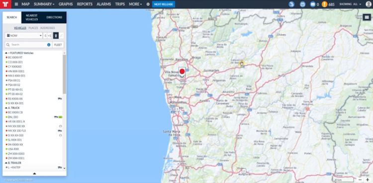
Beyond the standard view, Frotcom offers three different types of map layers, allowing you to tailor your experience.
1. Roadmap
The default view provides a clear representation of roads and highways. This mode is ideal for a quick overview of your fleet's routes and current locations.

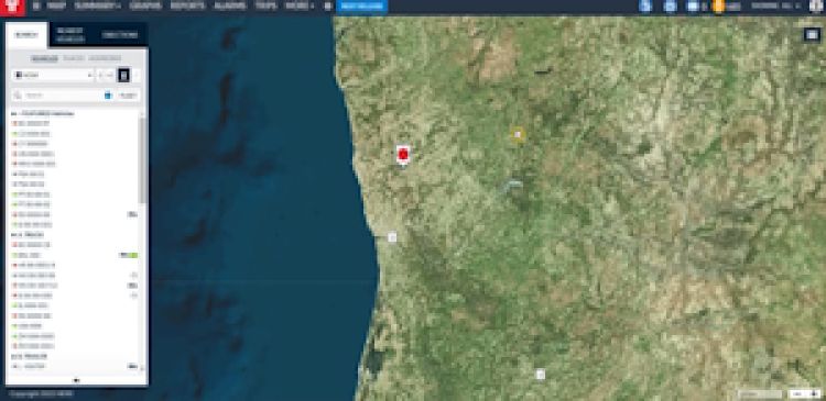
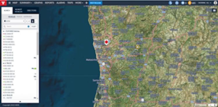
2. Aerial Maps
For a bird's-eye view, explore the Aerial map options. Choose between Aerial with no labels for a clean look or Aerial with labels for additional context.
| Aerial with no labels | Aerial with labels |

|

|
3. Terrain
For those navigating challenging landscapes, the Terrain layer offers a detailed view of the topography, ensuring that you're aware of the ground conditions your fleet is traversing.

Mastering the diverse layers of detail in Frotcom's mapping capabilities is the key to improving the fleet management experience.
If you'd like to learn more about Frotcom's various map layers and optimize your operations, contact a member of our team.
- Frotcom
- Frotcom mapping features
- Maps
- Google maps
- HERE maps
- Places
- Frotcom map interface
- Effective navigation
- Fleet efficiency
- Operational efficiency
- Fleet management

